|
| ||
|
I'm on a 9 month expedition from Seattle to the Aleutian Islands, exploring environmental issues along the way. I'll be revisiting Pebble in the course of this journey in January 2008. Follow along on the journey blog If you already have Google Earth installed and know how to use it, click to open my tour of the Pebble Mine site in Google Earth. If you don't want to install Google Earth, see it on the web in Google Maps.
If you don't have Google Earth already, here's a brief tutorial:
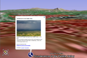
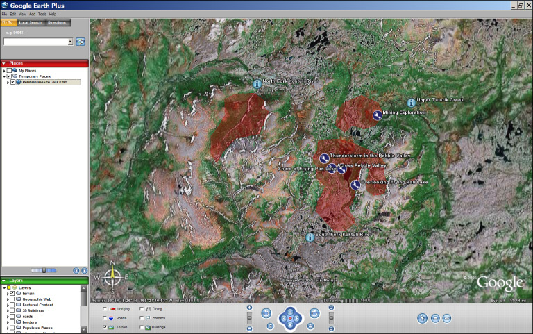 The red shows the approximate footprint of the mine. The little feet and little "i's" are placemarks. Single click a placemark to pop up a window that will show a picture taken at that site (for the little feet placemarks), and read a description. 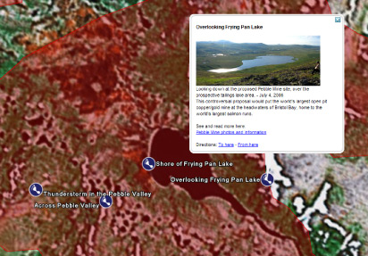
Double click on a placemark to zoom to the viewpoint of the photo. 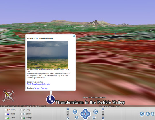
Now download my Google Earth tour of the Pebble Mine site. |
||
Read the guestbook | Sign the guestbook
All content by Erin McKittrick, copyright 2006-2007. Contact me with comments or questions at mckittre at gmail dot com.
Go to Alaska Trekking home. Go to Ground Truth Trekking home.
Last modified: 4/27/2007